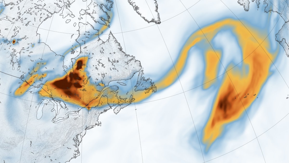
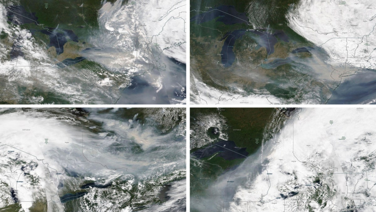
Smoke from the extensive Canadian wildfires has journeyed over 2,000 miles, reaching southwestern Europe and impacting air quality in various regions. NASA's Terra satellite captured images of the smoke plume over Portugal and Spain, and data indicates it extended to other European countries. While air quality in affected European areas remained mostly fair due to the smoke's higher atmospheric position, the situation differs significantly in the United States. Over 120 million U.S. residents faced air quality alerts, with some regions experiencing hazardous levels. NASA's Goddard Earth Observing System model, incorporating satellite and meteorological data, tracks the plume's movement and provides insights into its behavior. Ground sensors from the Aerosols Robotic Network (AERONET) further confirm the smoke's presence, recording elevated aerosol optical depth measurements in Spain and France. The widespread smoke's impact is evident in satellite images, showcasing its vast reach across thousands of miles. This situation contrasts with the relatively less severe air quality impacts in Europe, where the smoke is primarily concentrated higher in the atmosphere, posing less immediate health risks. Meanwhile, the U.S. grapples with widespread air quality alerts and hazardous conditions in certain areas.


